

 Sunny
 Overcast
 Mist
 Light rain shower
This post may contain affiliate links. If you purchase through them, I may earn a small commission at no extra cost to you. Thanks for supporting our small business.
Cherrapunji, officially Sohra, is a Khasi Hills town in Meghalaya, northeast India, best known as one of the wettest inhabited places on Earth. It held the world record for the most rain in a single month, 9,300 mm in July 1861, and still averages about 11,175 mm (440 in) a year, almost all of it between March and October. Despite the rain, temperatures stay mild year-round, ranging from 6.6°C (44°F) winter lows to 24°C (75°F) summer highs. This guide covers the climate, the best times to go, and where to stay.
Weather at a Glance in Cherrapunji
Cherrapunji has a subtropical highland climate (Koppen Cwb) at 1,484 metres (4,869 ft) of elevation, which keeps it cooler than the Assam plains below. The year divides into a clear, mild dry season from November to February, when December averages just 10 mm (0.4 in) of rain, and a long wet season from March to October that peaks in June and July at over 2,600 mm (102 in) each month. There is no hot season, since even the warmest month, October, tops out at 24°C (75°F).
The Khasi Hills force moisture-laden monsoon air upward, which is why Sohra receives so much rain while towns an hour away stay comparatively dry. That same geography means heavy cloud and near-zero visibility through the monsoon, then crisp, clear mornings from December to February. Pack for both: a rain shell is essential from April to October, and a fleece is needed for cold nights in winter.
Seasonal Snapshot
- Winter (December to February): dry and clear, highs 17 to 19°C (63 to 66°F), lows 6 to 9°C (44 to 48°F), the best season for views and treks.
- Spring (March to May): warming and increasingly wet, from 364 mm in March to 1,297 mm in May, with daily thunderstorms.
- Monsoon (June to September): torrential rain on most days, 2,608 to 2,665 mm monthly at the peak, waterfalls at full volume, low visibility.
- Autumn (October to November): rain eases from 461 mm to 49 mm, clear skies return, and the festival season begins in November.
Cherrapunji Travel Guides
- Cherrapunji Weather by Month: monthly temperatures, rainfall, and humidity tables. See the Cherrapunji weather by month guide.
- Best Time to Visit Cherrapunji: dry-season windows, waterfall season, and festival timing. Read the best time to visit Cherrapunji guide.
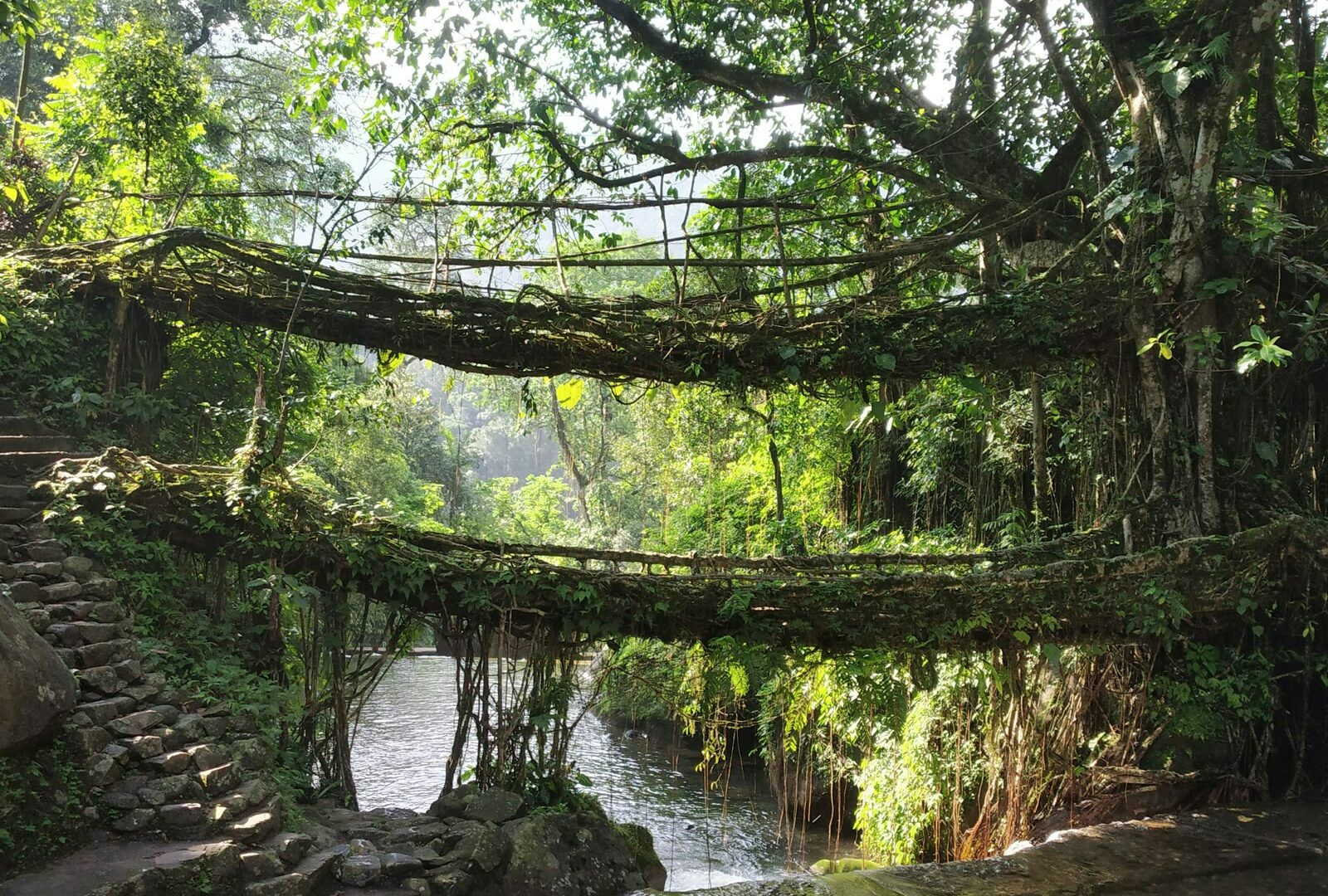
- Things to Do in Cherrapunji: Nohkalikai Falls, living root bridges, and Mawsmai Cave with fees and hours. Browse the things to do in Cherrapunji guide.
- Cherrapunji Festivals: Nongkrem Dance, Shad Suk Mynsiem, and Wangala dates and locations. See the Cherrapunji festivals guide.
- Cherrapunji Neighborhoods: Sohra town, Mawsmai, and the trailhead villages compared. Read the Cherrapunji neighborhoods guide.
- Where to Stay in Cherrapunji: hotels and homestays by area and budget. See the where to stay in Cherrapunji guide.
- Cherrapunji Travel Tips: airports, taxis, visas, and money. Read the Cherrapunji travel tips guide.
Location and Climate Context
Cherrapunji sits on the southern edge of the Meghalaya plateau, about 55 km south of the state capital Shillong and roughly 150 km from Guwahati in Assam. The plateau drops sharply toward the Bangladesh plains to the south, and this escarpment is what squeezes the monsoon clouds. Mawsynram, 15 km to the west, now holds the annual rainfall record, but Sohra keeps the monthly and single-year world records and the tourist infrastructure to match.
Quick Facts
- Warmest month: October, averaging a 24.0°C (75°F) daytime high.
- Coldest month: January, with lows averaging 6.6°C (44°F).
- Wettest month: July, with 2,665 mm (104.9 in) across 28 rainy days.
- Driest month: December, with just 10 mm (0.4 in) on a single wet day.
- Annual rainfall: about 11,175 mm (440 in), among the highest on Earth.
- Best weather window: October to February for clear skies and dry trails.
Where to Stay in Cherrapunji
Lodging splits three ways: budget homestays in Sohra town, resort-style properties along the Mawsmai falls road, and a thin scatter of village lodges near the root-bridge trailheads. Budget rooms start around 800 rupees a night in town, while the clifftop resorts on the falls road run from about 2,000 rupees upward. The full area-by-area breakdown is linked in the travel guides above.
Suggested Hotels in Cherrapunji
Polo Cherrapunjee Resort
Clifftop estate with an infinity pool, spa, and two restaurants, 50 metres from Nohsngithiang Falls. Best for couples and honeymooners. Check rates and availability
Jiva Resort Cherrapunjee
Ten heated, air-conditioned rooms with a restaurant and bar, 3 km from Seven Sisters Falls. Best for families visiting in the colder months. Check rates and availability
Goshen Homestay
Family-run homestay in Sohra town with free parking, car rental, and an 8.1 guest rating. Best for solo travellers and backpackers. Check rates and availability
